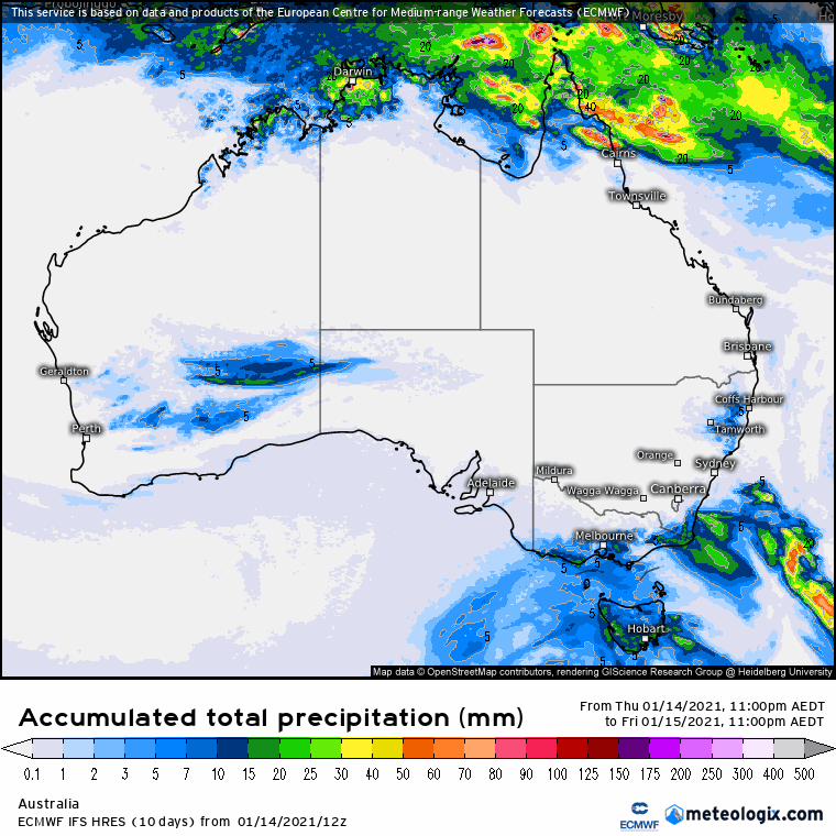
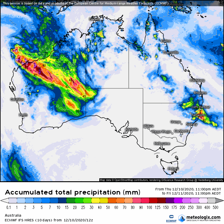
9-day ECMWF rainfall outlook
/The European ECMWF 9-day model shows a kaleidoscope of colour, with rainfall predicted through northern and eastern Australia in the coming week and a half. A positive SAM is pushing moisture into NSW and rain is also showing in the desert channels and other regions through the interior. However, models are divided, so its there is real value in checking the Meteologix model survey to see how the predicted amounts differ, to better evaluate your chances of rain through this period. Access courtesy https://meteologix.com/au

Image loop courtesy Meteologix